Mapping geography to color
What if every place on Earth had its own unique color? Not based on what it looks like, but on where it is — a color identity derived purely from geographic coordinates.
The familiar RGB space was designed for screens, not for human eyes. Equal steps in RGB don’t look equally different to us. The HCL color space (Hue-Chroma-Luminance) fixes this — it’s designed so that equidistant colors look equidistant. Its three dimensions:
And crucially, HCL can be represented as a sphere — just like Earth.
Both systems are spherical, so the mapping is natural:
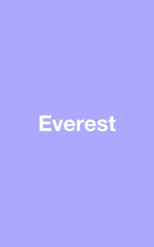
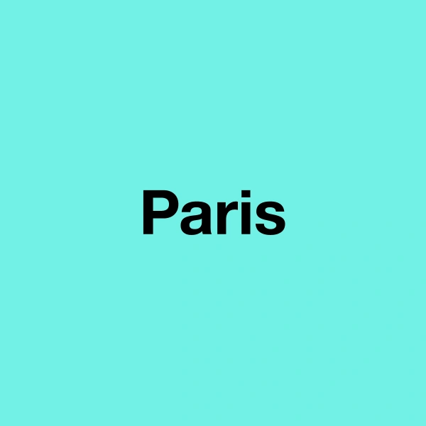
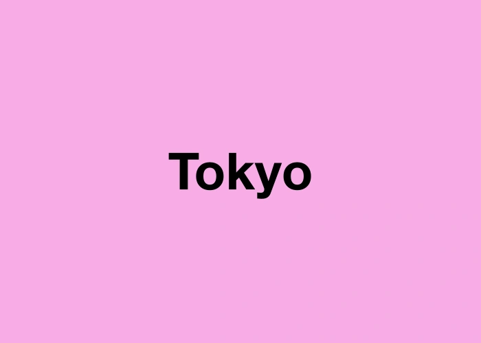
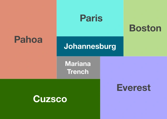
Mount Everest gets a vivid color. The Mariana Trench, almost grey. Paris and Tokyo sit at similar latitudes but different longitudes — similar brightness, different hues.
Eleven locations around the world, each shown as its unique color: